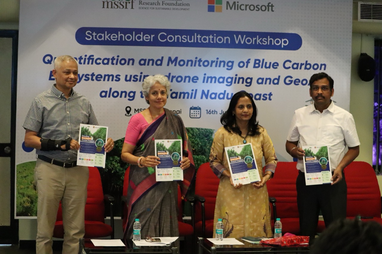
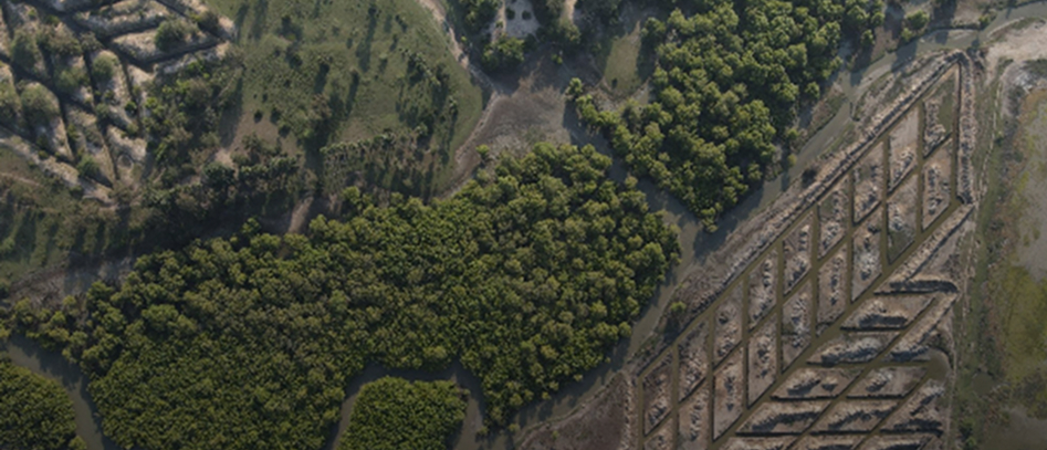
The project “Quantifying Blue Carbon Ecosystems along the Tamil Nadu Coast using Drone Imaging and Geospatial Artificial Intelligence (GeoAI)” aims to map and assess blue carbon habitats such as mangroves, seagrass beds, and tidal marshlands across coastal regions including Pichavaram, Muthupet, the Gulf of Mannar, and Palk Bay. Using drone-based multispectral imaging integrated with advanced GeoAI and machine learning models, the project generates high-resolution maps and carbon stock estimates. These outputs support data-driven policy decisions for coastal conservation, enhance climate change mitigation efforts, and contribute to India’s NDC commitments and global blue carbon management frameworks.